
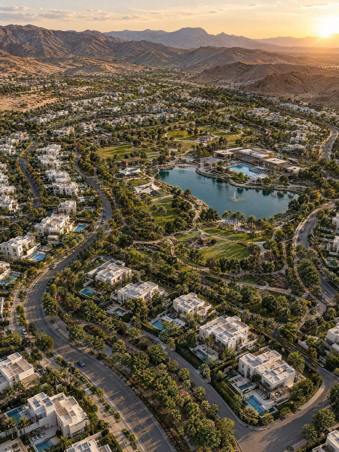
A single villa can be sold with a few good images. A community of hundreds of homes, a clubhouse, a lake and three construction phases cannot. Aerial masterplan rendering is the tool that explains the whole idea in one frame: where the homes sit, how the streets flow, where the park is and what will exist when every phase is finished.
Key takeaways
- An aerial masterplan render shows the layout, amenities and scale of a whole development in a single image.
- The United Nations projects that 68% of the world’s population will live in urban areas by 2050, up from 55% in 2018, which keeps large planned communities in demand.
- Aerial views should be paired with street-level renders, because buyers decide at eye height, not from the sky.
- Phased projects benefit from aerial images that mark what exists now and what comes next.
A masterplan render is a photorealistic bird’s-eye image of a planned development, showing buildings, roads, landscaping and amenities in their real setting. Arkilex produces these views from the project’s site plans and terrain data, then extends the same scene into street-level images and film.
1. Why do large projects need aerial views?
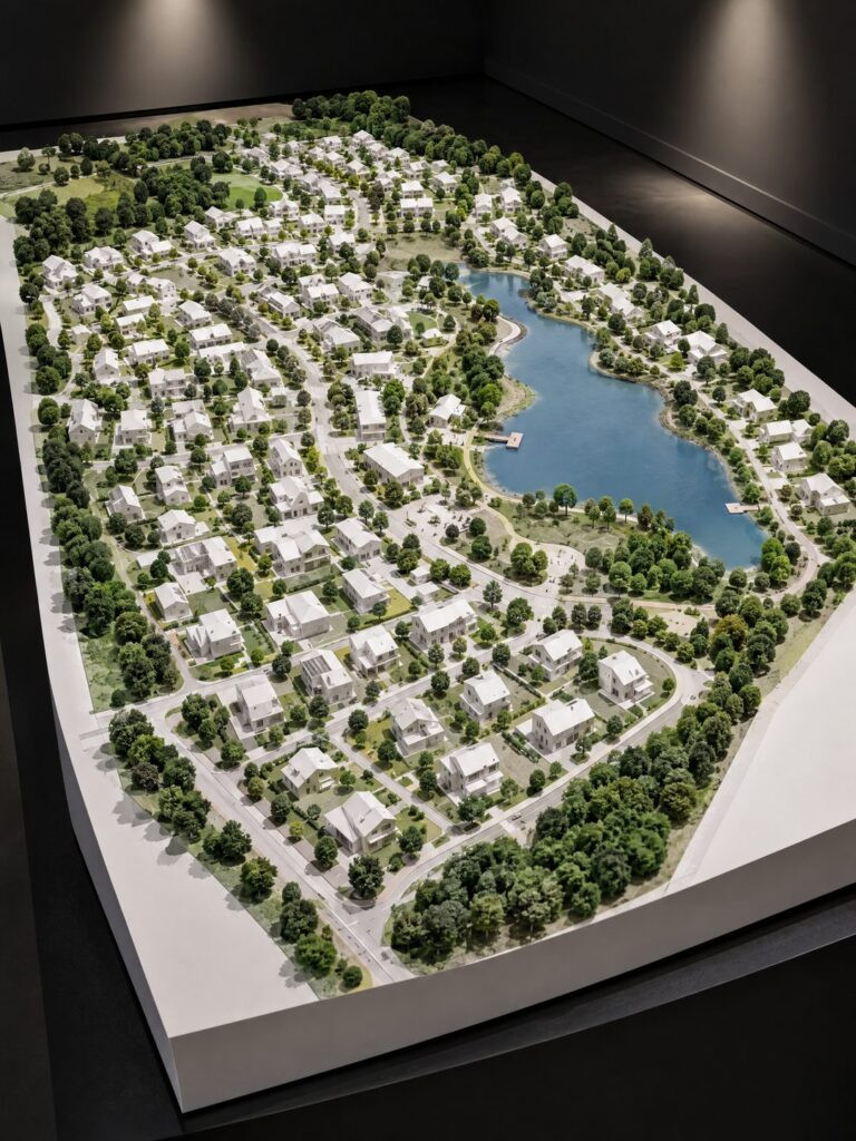
Large projects need aerial views because nobody can understand a community from a site plan. Planning drawings are precise but abstract; most buyers, and many investors, cannot read them quickly.
An aerial image turns the plan into a place. Buyers see the lake, the green corridors and the distance from their plot to the clubhouse. Landowners and partners see the ambition of the scheme at a glance.
Physical site models do a similar job in the sales suite, and they remain powerful. The render travels further: onto the website, into the brochure and across every ad.
2. Why planned communities keep growing
Planned communities keep growing because cities keep growing. According to the United Nations Department of Economic and Social Affairs, 55% of the world’s population lived in urban areas in 2018, a share expected to rise to 68% by 2050.
That growth is absorbed partly by large, phased developments on the edge of existing cities. Each one has to sell a future neighborhood long before it exists, often over many years.
This is why a masterplan aerial is rarely a one-off image. It becomes the reference picture that every later phase, brochure and planning update is measured against.
3. Five ways to use aerial masterplan rendering
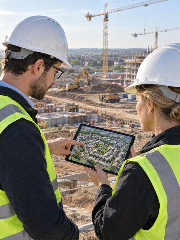
Developers get the most value from masterplan views when each image has a specific job. These are the five we produce most often.
- The hero aerial, a high oblique view at late-afternoon light, for the brochure cover and website.
- A plan-style top view with soft shadows, for sales staff explaining plots and phases.
- Phase images that show built, under-construction and future areas in different tones.
- Amenity close-ups from a lower drone height, such as the clubhouse, park or school.
- Context views that place the community next to roads, the city and the coastline.
Together these cover the whole sales conversation, from the first impression to the discussion about a specific plot.
4. How do you balance aerial and street-level views?
Balance them by the decision each one supports. Aerial views explain where; street-level views sell how it feels. Buyers choose a home at eye height, walking down a tree-lined road, not from three hundred meters up.
A good masterplan package pairs every aerial with at least one ground view of the same area. The clubhouse aerial comes with an image of its terrace; the park aerial comes with a morning scene on its paths.
Camera height is the other lever. A high aerial shows the full plan, while a lower drone height keeps rooftops, trees and street furniture readable, which makes the community feel like a real neighborhood rather than a diagram. Most packages need both heights.
This pairing also protects credibility. An aerial alone can look like a promise; a matching street view shows the detail has been designed.
5. What should a masterplan brief include?
A masterplan brief should include the site plan, topography, the typologies of every building, the landscape concept and the phasing plan. With those five inputs, a studio can build an accurate model instead of guessing.
Add the key selling points in order of importance, the lake, the school, the sea view, so the camera can be placed to frame them. And say where the images will be used, because a billboard and a sales tablet need different compositions.
Arkilex builds masterplan scenes that grow with the project, phase by phase. If you are launching a community, share your site plan with us and we will propose the set of views your sales team actually needs.
6. Frequently asked questions
What is an aerial masterplan rendering?
A masterplan aerial is a photorealistic bird’s-eye image of a planned development. It shows buildings, streets, landscaping and amenities in their real setting, so buyers, partners and planning authorities can understand the layout and scale of a community long before construction is finished.
What files are needed to render a masterplan?
A studio needs the site plan, topography or terrain data, the building typologies with their elevations, the landscape concept and the phasing plan. Photos or satellite images of the surroundings help place the project in context. The more complete these inputs are, the more accurate the render.
Can a masterplan render show different construction phases?
Yes. The same 3D scene can show built areas, areas under construction and future phases in different tones, or as separate images. This is especially useful for long projects, because the sales team can explain what exists today and what buyers of each phase can expect.
Are aerial renders enough to sell a community?
No. Aerial renders explain the layout, but buyers decide at eye level. The strongest campaigns pair each aerial view with street-level images of the same area, such as a clubhouse terrace or a tree-lined road, so buyers can picture daily life inside the community.
“An absolutely excellent 3D team that I genuinely enjoy working with - always attentive, responsive, and open to adjustments. Communication is seamless and the results consistently meet our expectations. A trusted partner I recommend without hesitation.”
— Sofia Bouziane ★★★★★ · Google review